Azores
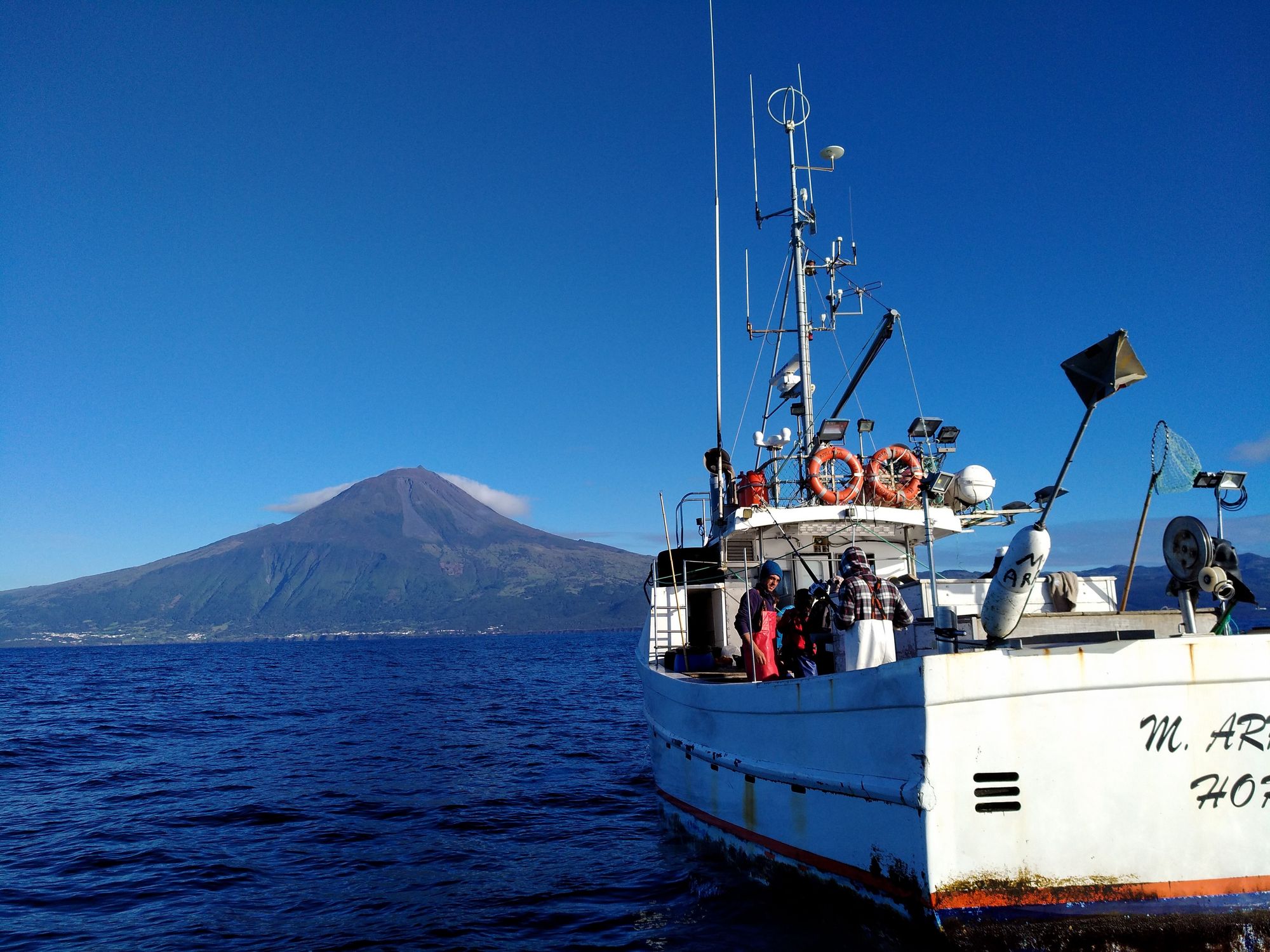
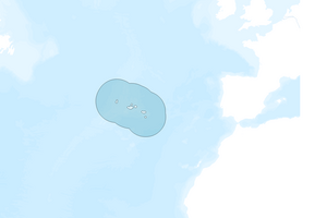
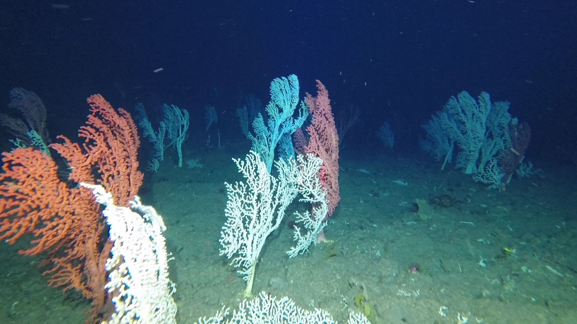
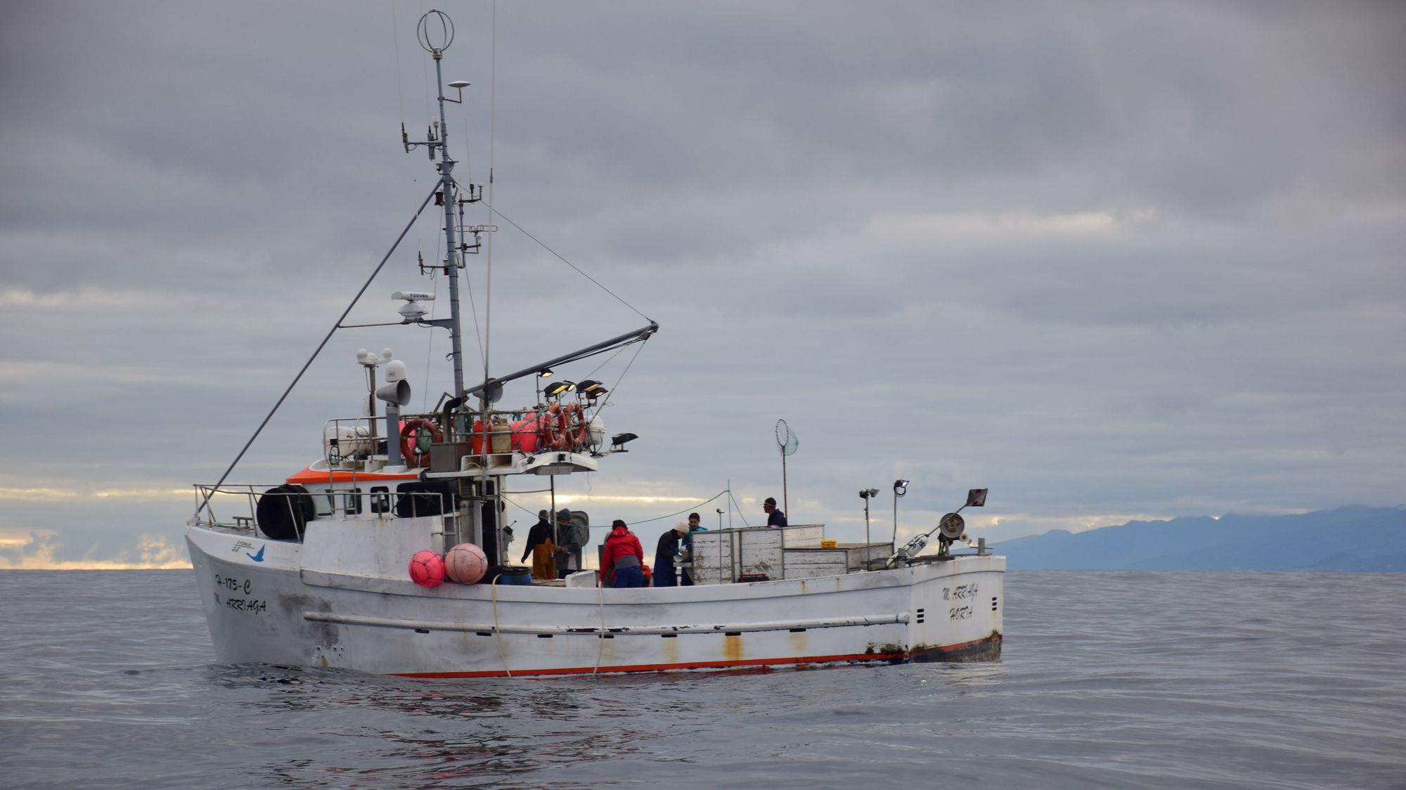
The Azores, is a Portuguese archipelago of nine volcanic islands located on the Mid-Atlantic Ridge (MAR), encompassing an EEZ of about 1 million km². These islands have narrow shelves and steep slopes, surrounded by a highly rugged deep seabed hosting numerous distinctive bathymetric features and a large diversity of habitats and ecosystems of high natural capital, but that are increasingly affected by bottom hook-and-line fisheries, climate change and, in the future, deep-seabed mining. Several areas of the Azores deep-sea may fit the FAO criteria for defining Vulnerable Marine Ecosystems (VME) while others may be considered equivalent to EBSAs or priority habitats in need of protection by the OSPAR Convention for the protection and conservation of the North-East Atlantic.
The zonation of existing NATURA 2000 sites will be contrasted with EBSA criteria, while additional conservation and restoration priorities may be suggested involving artificial habitats. Furthermore, the effects of fishing effort displacements, other changes in cumulative impacts in combination with climate change will be considered. As the SNS is a transboundary Planning Site, emphasis will be given to the concept of ‘connectivity’ in its broadest sense. In addition to ecological connectivity, which is a cornerstone to EB-MSP and will be assessed through drift models, the current legal, sectoral and economic connectivity will be mapped out in order to identify barriers and opportunities to achieve EU 2030 Biodiversity targets. Trade-offs of EB-MSP planning options will be of particular interest for stakeholders at regional scales such as OSPAR, ICES, NGOs (Birdlife, WWF, Seas At Risk), fishing industry (EAPO, Europeche), ORE (WindEurope, Ocean Energy Europe), but also for respective national authorities responsible for the MSP, MSFD and MPA designations. Furthermore, the Planning Site will take advantage of results of previous projects such as MESMA, ODEMM, or CERES and engage with ongoing EU projects such as SEAwise and FutureMARES.


