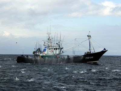
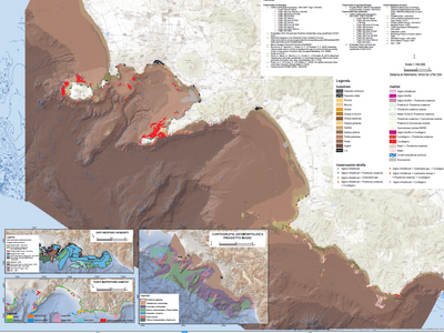
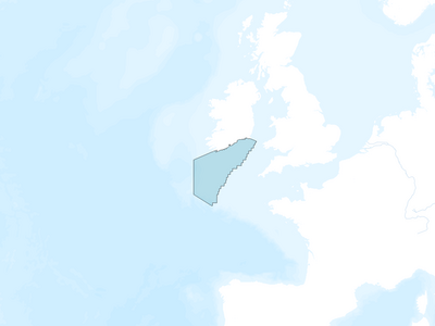
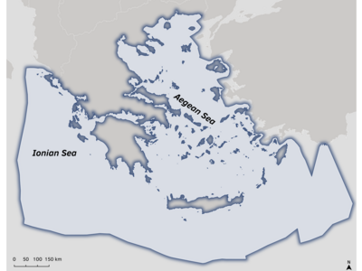
Planning Sites are central for MarinePlan
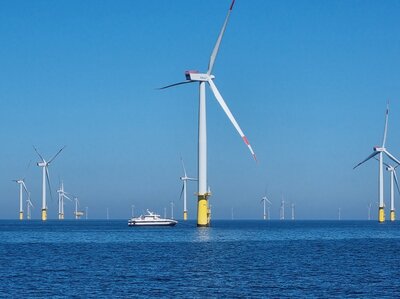
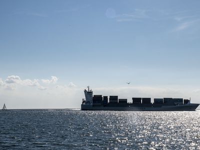
Eight archetypal European MarinePlan Planning Sites have been selected to achieve a broad geographical coverage, encompassing the Baltic Sea, North Sea, Celtic Sea, Atlantic, and Mediterranean Sea. At these Planning Sites project partners will coherently apply the tools developed within the project to derive commonalities, success stories and impediments with regard to the co-development of feasible and realistic planning options to achieve EU Biodiversity strategy targets with the help of EB-MSP.


This project has received funding from the European Union's Horizon Europe research and innovation programme HORIZON-CL6-2021-BIODIV-01-12 under grant agreement No 101059407 and by UK Research and Innovation (UKRI) under the UK government’s Horizon Europe funding guarantee grant numbers 10038951 & 10050537. Views and opinions expressed are however those of the authors only and do not necessarily reflect those of the European Union or UK Research and Innovation. Neither the European Union nor the granting authority can be held responsible for them.