Campania
Planning Site Focus
Identifying additional protection and restoration priorities to revise and expand present conservation measures and achieve EU Biodiversity targets in a human dominated sea-and landscape.

Lead

Partners

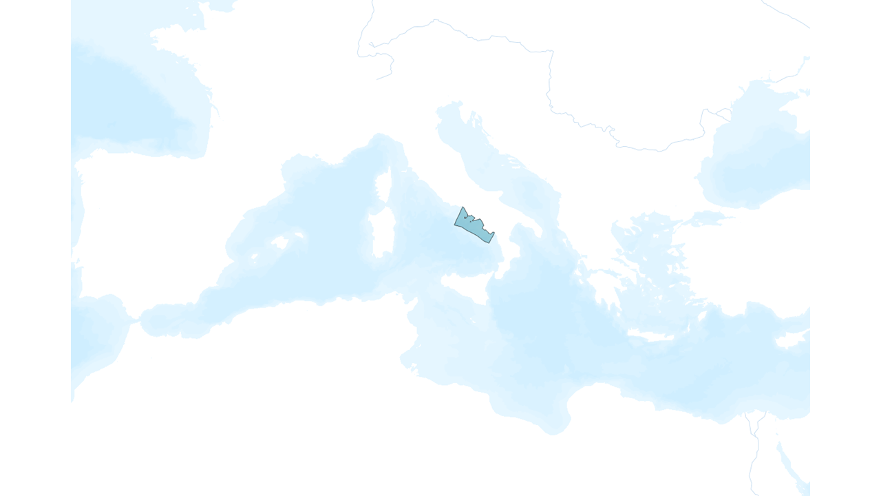
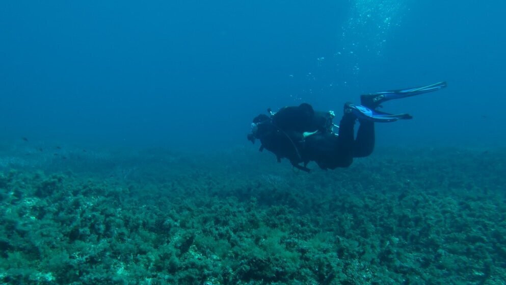
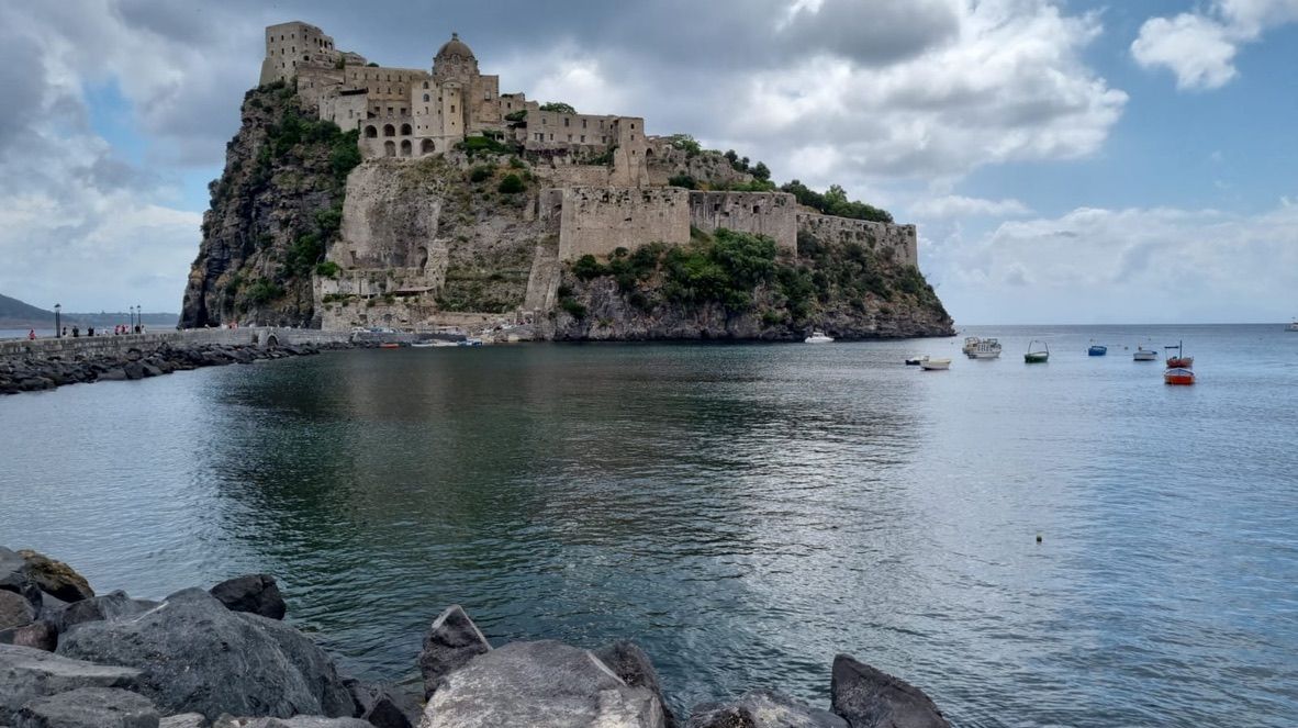
In the Mediterranean Sea, the Campania region (450 km coastline) hosts high biodiversity and archaeological remnants embedded in areas with high cumulative pressures. A systematic collection of already available fine-scale spatial data on the distribution and extent of ecological features (both species and habitats of conservation importance) and human uses (e.g. artisanal and industrial fishery, aquaculture, maritime traffic, touristic frequentation, coastal development, urbanization, human infrastructures) is actually in progress together with the collection of new data on biodiversity and human uses in presence of gaps. All data have been stored in a spatial geoportal developed at regional scale of critical importance to develop spatial analyses. Data from data sources as EMODNET and COPERNICUS have already been included in the geoportal. An MSP site prioritisation process for sustainable aquaculture and fishery is being conducted at regional scale supported by an EU-EMFF project and the Regional Administration.
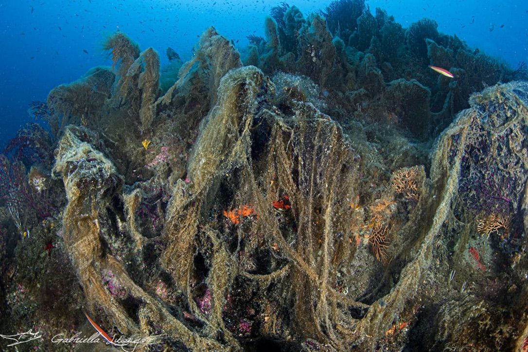
Conflicts among competing users are expected to increase with the growing use of maritime space. In addition, a processes of expansion of national designated Marine Protected Areas outside present borders to include Natura 2000 Sites is presently occurring. MarinePlan capitalizes on these efforts by
1- assessing the effectiveness of present protection schemes in the region by nationally designed Marine Protected Areas, Natura 2000 Sites and Fishery Restricted Areas, considering EBSA criteria,
2- identifying additional protection and restoration priorities to revise and expand present conservation measures and achieve EU Biodiversity targets in a human dominated seascape,
3- exploring the trade-offs among EB-MSP planning options with different data resolution,
4- including the consideration of connectivity to build present and future scenarios of protection and restoration.
All steps will include the participation of stakeholders at local scale such as Management Bodies of MPAs (Regno di Nettuno, Punta Campanella, Costa infreschi e Castellabate), NGOs (Marevivo, WWF, Lega Ambiente), fishing industry (Federpesca, Coldiretti), and also the regional / national authorities responsible for the MSP, MSFD and MPA designations and fisheries management (GFCM, EU Dg Mare). The planning process will take advantage of ongoing EU projects such as the National Future Biodiversity Center, the Horizon ACTNOW, FISHMPABLUE and the Biodiversa project Forescue.

This project has received funding from the European Union's Horizon Europe research and innovation programme HORIZON-CL6-2021-BIODIV-01-12 under grant agreement No 101059407 and by UK Research and Innovation (UKRI) under the UK government’s Horizon Europe funding guarantee grant numbers 10038951 & 10050537. Views and opinions expressed are however those of the authors only and do not necessarily reflect those of the European Union or UK Research and Innovation. Neither the European Union nor the granting authority can be held responsible for them.